Measured building surveys
Floor plans, elevations and sections of existing buildings, drawn to the scale and detail your project needs.
Sheet 01 · Rev A
Property and construction surveys. Clear scope. Scotland-wide, from Aberdeen.
You need accurate existing-condition information so design can start. We survey the building or site, deliver drawings and data in the format you work in, and tell you plainly what each deliverable is suitable for.
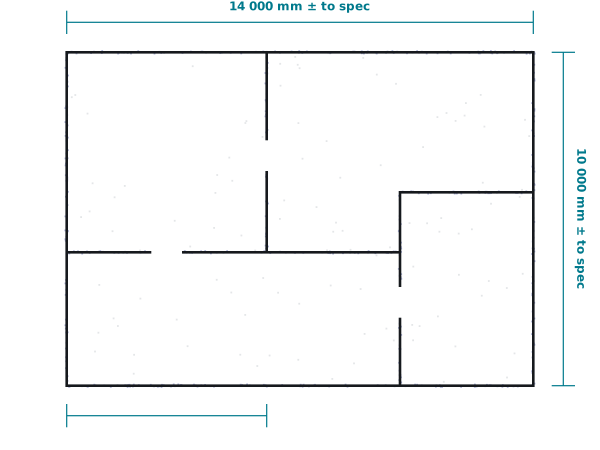
Measured building surveys, topographical surveys, underground utility surveys, point clouds, 3D models and 2D drawings, and drone surveys, across Scotland and further by arrangement. Tell us what you need and we'll quote.
Request a quote
Phase Surveys does property and construction surveys for design teams. Phase Projects handles high-consequence industrial and offshore projects.
Visit Phase Projects
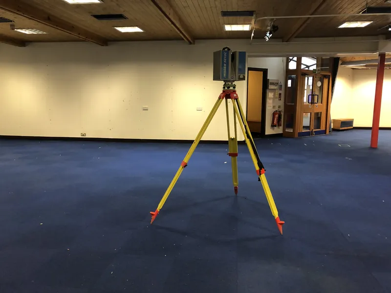
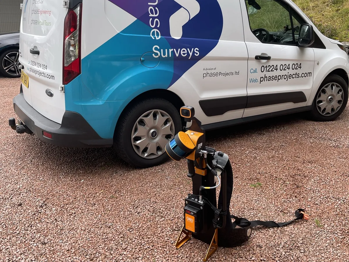
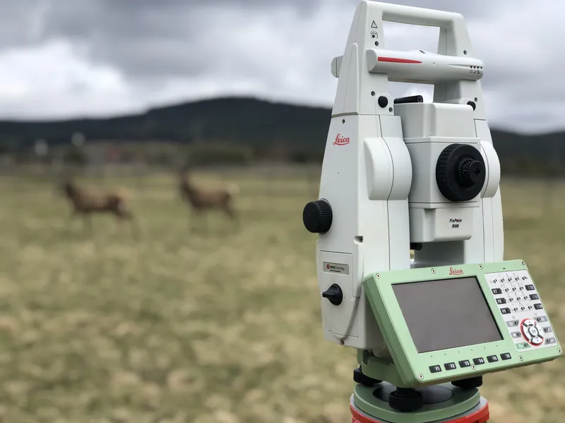
Floor plans, elevations and sections of existing buildings, drawn to the scale and detail your project needs.
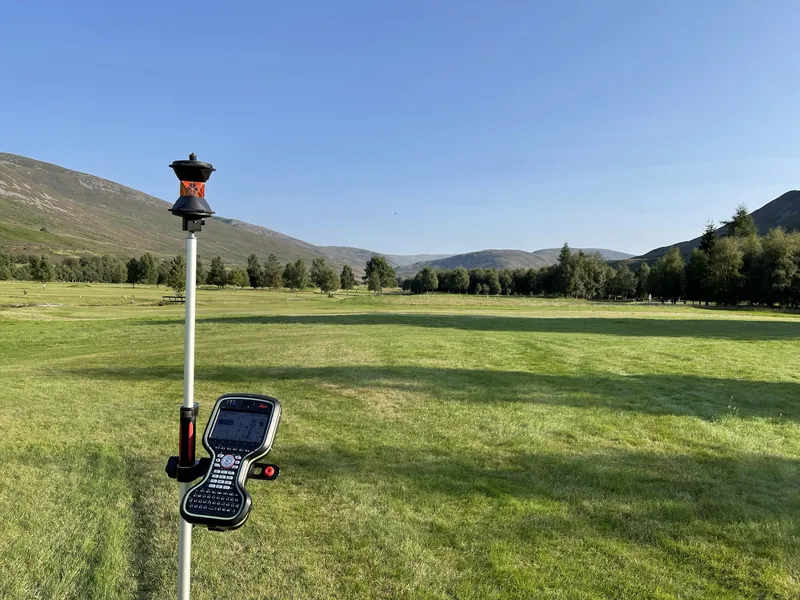
Levels, boundaries and site features for planning and design, tied to Ordnance Survey coordinates.
Buried services located with GPR and electromagnetic detection and mapped to PAS 128 before design or groundworks, with the limits of detection stated.
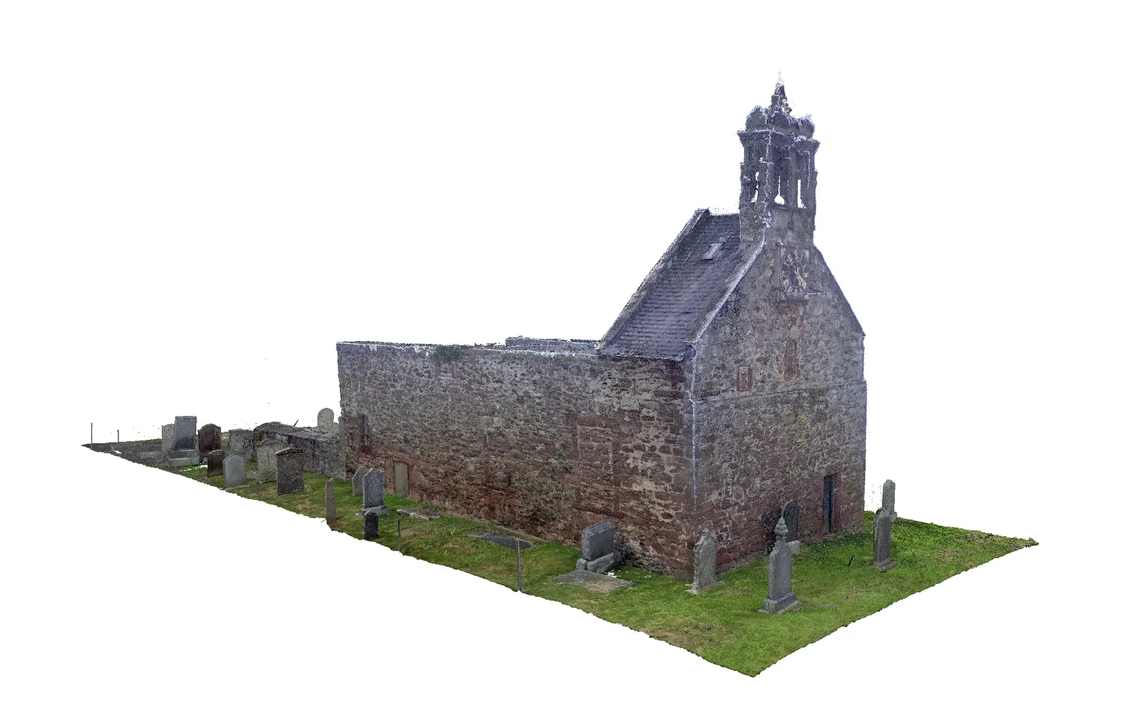
Registered scan data for coordination and design, delivered in the format you work in.
3D models and 2D CAD drawings produced from the survey data, with the level of detail agreed up front.
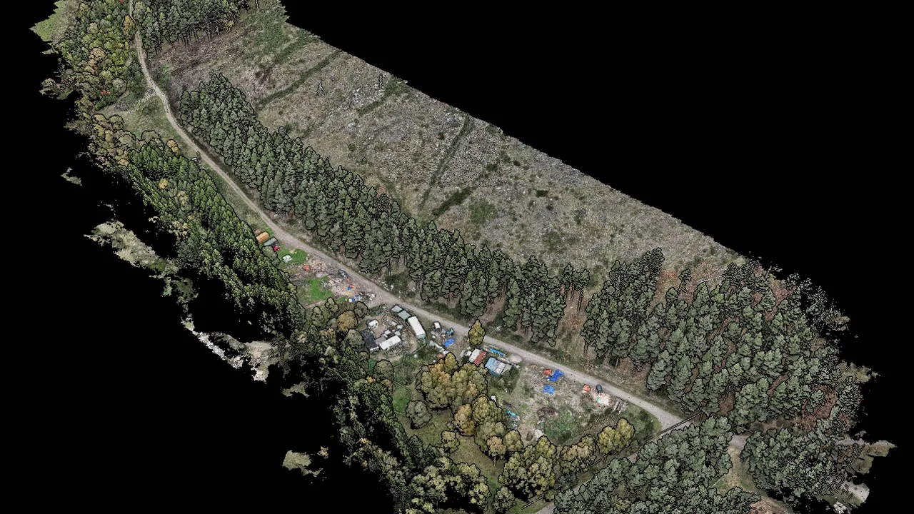
Aerial imagery and mapping where it's the right tool for the site.

Walk the building or site as it stands without a visit, or see the proposed design in its real setting before it is built. Both are made from the survey, so they are accurate.
Ask about visualisationA familiar walk-through tour, captured with professional-grade Matterport devices and shared with a link.
A lifelike 3D scene you can move through freely, captured with PortalCam, and by drone where the site suits it.
Traditional 360° panoramas, shot on professional DSLRs with Nodal Ninja panoramic heads, with drone aerials, built into a tour designed around your project.
The proposed design in its real setting, built on the surveyed model so what you see is where it will be.
Images for an application that show what will actually be there, from the viewpoints that matter.
Photographs from surveyed camera positions with the proposed building placed in them accurately. The kind planners ask for on bigger schemes.
Tours load from Matterport (US) only when you press a button.
Two quotes for "a measured building survey" can differ a lot, and both can be honest. The difference is usually in four things that rarely appear on the quote.
A survey to the nearest 50 mm is quicker than one to the nearest 5 mm. Both are valid. Only one suits a historic church.
Some detail is measured on site, some is traced from photos or existing plans. Unless you are told which is which, you can't tell from the drawing.
Independent checks and closed control take time: we close the loop back to the first station and prove the figures. Skipping that is faster, and the errors show up later, usually on site.
An experienced surveyor sees the things a design will trip over: a drain that doesn't line up, a wall that isn't square.
| Drawing scale | Capture method |
|---|---|
| 1:100 | SLAM may be appropriate |
| 1:50 | Requires a controlled survey / RTC |
SLAM: handheld mobile scanning. RTC: static laser scanning set up on survey control.
Surveying buildings since 1989.
If a quicker survey suits your project, we'll tell you. If you already have a survey and aren't sure it's good enough for the next stage, send it over and we'll give you a straight view.
In a survey control environment, which means longer on site, the instrument has to know where it is before a single point is measured. The standard topo set-up is over a nail: centre the crosshair on it, then steady the bubble. Or set up anywhere, level, and fix the station by resection, turning the telescope onto known targets: three fix it, a fourth is the check. Either way takes care, and care takes time.
Ready. Click the dial to start, then move the mouse, drag on a touch screen, or use the arrow keys.
A toy, not a survey instrument.
Every survey comes with a short statement covering how the data was captured, the accuracy achieved, what it is suitable for, and what it isn't.
Cheap data goes wrong when nobody says where its limits are. You won't be guessing.
Every survey is checked before it leaves us, and the statement records who checked it. That check is our insurance.

37years of experience, since 1989
From measured buildings and development sites on this website, to offshore platforms and process plant as Phase Projects. The same survey team and the same control standards, whatever the size of the job.
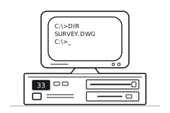 01386 PC
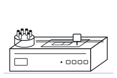 02HP pen plotter with pen carousel
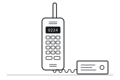 03Car phone
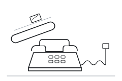 04No internet: the phone on the desk, drawings in the post
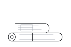 05Paper plans
 062D .dwg files on a floppy disk
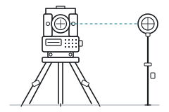 07Geodimeter 410 total station and circular prism on a pole: a two-person job
 08CAT and Genny
 09Paper sketchpad
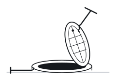 10Manhole keys, and a cover lifted by hand
 1135 mm film camera, 36 shots a roll
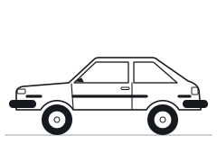 12Volvo 340, white (c/w rusty, no air-con)
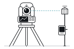 01Robotic total station: one person
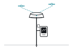 02GNSS RTK rover
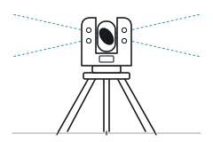 03High-precision laser scanner
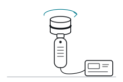 04SLAM scanner: around five times faster, less detail
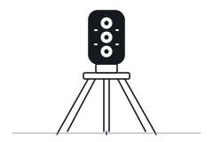 053D tour camera
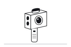 06Handheld spatial camera
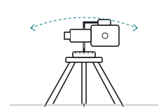 07DSLR on a panoramic head
 08Survey-grade RTK drone
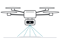 09Lidar drone
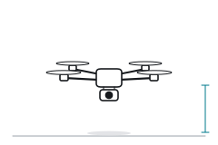 10Mini drone
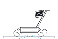 11Ground penetrating radar cart
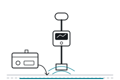 12Cable locator and its transmitter
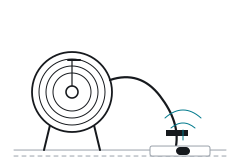 13Rod reel with a sonde14Manhole keys: still lifted by hand
 15Cutting-edge PC systems
 16Internet and modern processing software
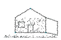 17Point clouds
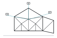 18Digital twin
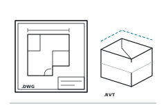 192D and 3D in the formats you work in: .dwg, .rvt and more
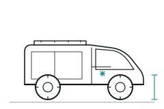 20Off-road van, with air-con